The districts’ names (part 4/4)
– In the west
May 30th 2019, by Leo
When the time comes to further explore Strasbourg, we set to leave the Vauban bridge behind and the last view of the Covered Bridges’ towers to then go up the river Ill. In the south and the west, one gets between the Elsau and the Montagne Verte (literally the Green Mountain), leaves the banks of the river and goes up north at last. Passing by Koenigshoffen, we can go and greet Hautepierre and its honeycomb structure before getting to Cronenbourg.
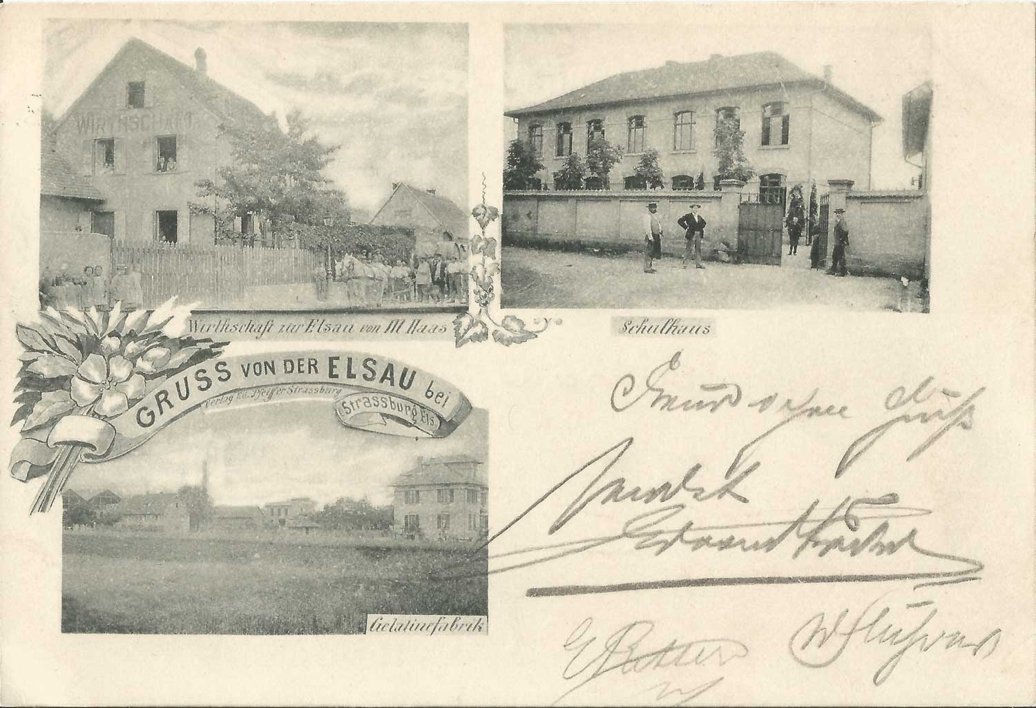
The Elsau
The Elsau is one of Strasbourg’s new districts. The old Elsau barely regroups a few houses, while the district was built for the most part in the 60’s and 70’s, to compensate for the housing crisis. But the name is part of the sweet series of “Aue” (see “About the districts’ names”), formerly spellt Elz Aue. Ah, here we splash at last into muddy water, where the origins are guessed more than anything else. “Elz” was most probably a distortion of “Ill”, the river that lines these floodplains (some people say so at least regarding “Elsass”, the Alsatian for Alsace). That would give us : the Ill plain.
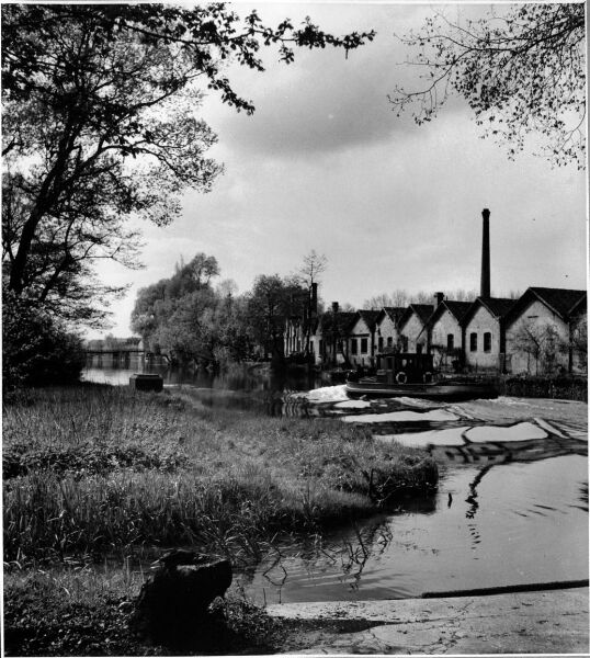
The Montagne Verte
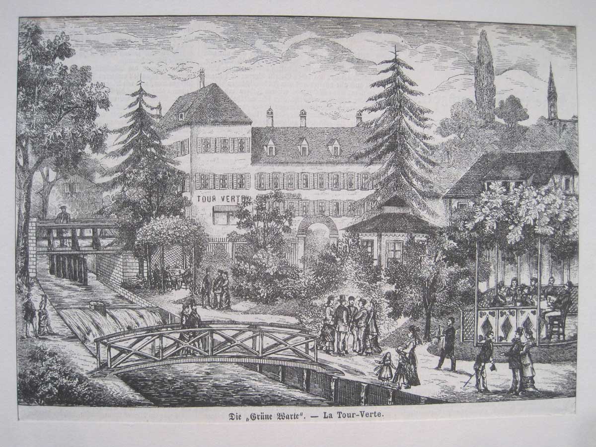
Let us not dwell here. Instead, we will go towards more northerly districts. Linking three districts, the Montagne Verte (“green mountain”) is a mystery as well. Some think that the Alsatian Grüeneberri would come from the Green Tower (Alsatian : Grüne Warte) that was towering over the area, and from the adjacent, sought-after inn added in 1558. Some others go as far as to mention an optical illusion. Back then, arriving from the south, the green poplars next to the water may have given the impression of a verdant mound, while the district is definitely flat! Or, very simply, the name comes from both origins.
Koenigshoffen
Passing the Bruche and its canal, we set foot in one of the oldest localities around Strasbourg: Koenigshoffen and its Romans’ Road, a road whose name fits perfectly. Let’s get a closer look at it. Koenigshoffen is literally the courtyard (Hof) of the King (Koenig). But which one is that? You may have heard of Saint Odile, well it so happens that her brother Adalbert, duke of Alsace, had a mansion installed next to the still existing Roman via (road) and thusly gave its name to the locality!
Hautepierre
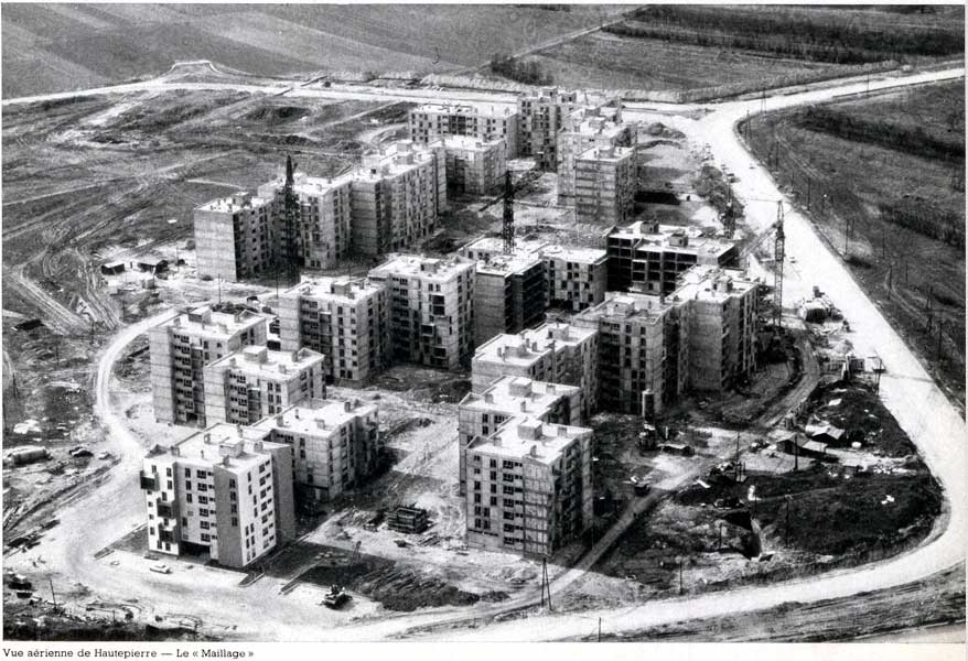
And behind the old Roman ways and ruins, the view is getting clear on Hautepierre (“highstone”), a recent district as well. Before the end of the 60’s, that area was still made up solely of pastures and fields. And, when the time came to find a name for this huge assembly of buildings getting out of the ground, the place, known as Hohenstein, got literally translated to Hautepierre (meaning the “High Stone” in French). Once again, speculation is of the essence: is there a link to the Hohenstein of Alsace family (who did not seem to own land so close to Strasbourg) or simply to a big rock, a leftover of another geological time?
Cronenbourg
After such questions, let us go back to a district whose name has earned an international reputation thanks to some beer. I’m talking of course about Cronenbourg. It seems that in late Middle Age, this door of Strasbourg was the first to get the name of a castle further away, a name that ended up extending on the whole district just beyond the said door. It consists literally in the crown (Kron) village (-bourg), the name given at first by the emperor Frederick II of Hohenstaufen to a fortress he founded on some land of his centuries ago.
This is the end of our small guided tour in Strasbourg’s west, feel free to come and discuss it during our Free Tours, share with us your own guesses or info in the comments section, come share our love for this old Lady that is Strasbourg!

