The districts’ names (part 3/4)
– in the south
May 20th 2019, by Leo
Now that we have covered the districts’ names in the city center (About the districts’ names – City center), let me take you for a guided ride to the southern area of our dear city. And what are the districts that spread to the south?
As we pass the Ill river, we first get to the Krutenau, slightly to the east. Then the Neudorf welcomes us and through the Meinau and the Musau we pass before we can dive into the Neuhof, at the south end of the city.
The Krutenau
The district in the south that Strasbourg integrated the soonest is the Krutenau. And its name tells us about its ocupants: “Krutenau“, that is to say the cabbage meadow. For a long time, Strasbourg was surrounded by a necessary array of gardens that would supply the city dwellers. And those market gardens, so close to the expanding city, got incoporated in its walls from the 15th century onwards.
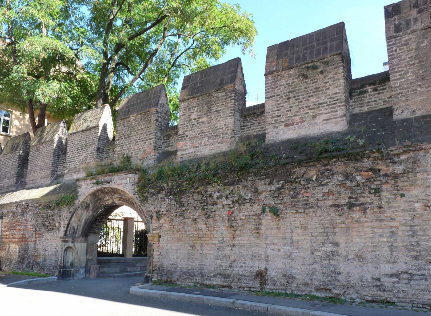
As a testimony of that time, you can look at what remains of the 13th century wall that separates the immediate outskirts from the city, lost between the broad Sainte-Madeleine Church and the Orphans street, a discrete alley so close to the Zurich square. Something you will get to hear about in more details during some of our guided tours!
The Neudorf
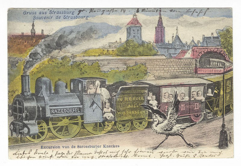
As we continue that way, we cross the trench of the Two-Banks new urban plan (French: les Deux-Rives), that goes from the Heyritz to the Rhine, to get to the “Neudorf“. The new village (Neu: new, Dorf: village) is indeed one the suburbs that developed the latest. While the expansion in other directions integrates older towns (Koenigshoffen, Cronenbourg, etc.), the direct south stays for a long time a land peppered with market gardens. Only with the extraordinary demographical explosion in Strasbourg during the Second Reich does it become that new village, the most populated district in Strasbourg.
The Meinau
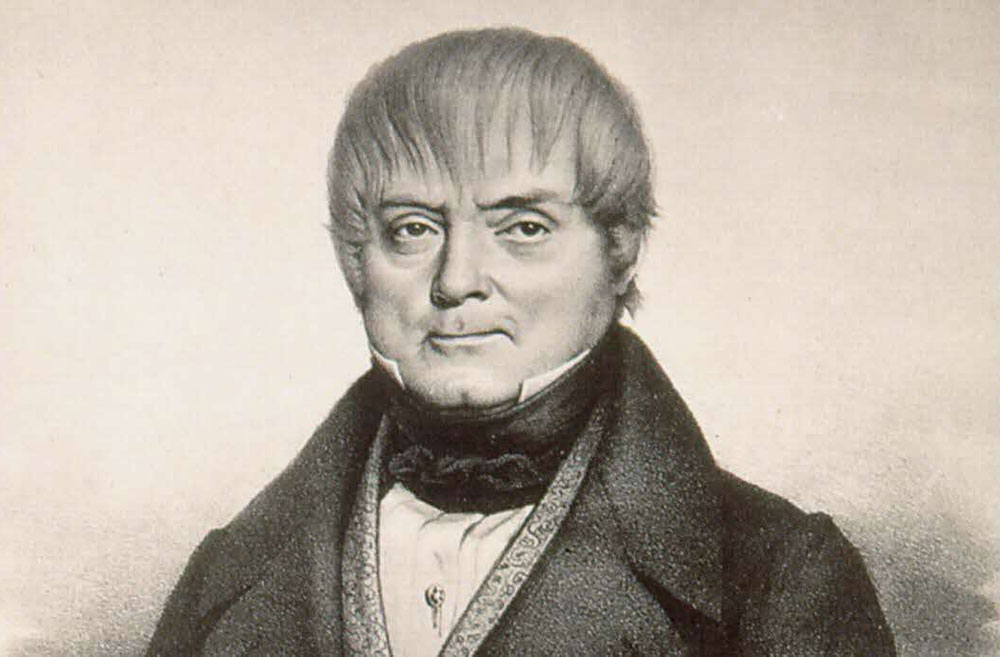
Then comes the “Meinau“, with its stadium that all supporters of the local football team know (Racing Club de Strasbourg). The name comes, for once, from a single person: Charles Schulmeister, a spy for Napoleon the 1st. He aquires those meadows that had been used for a long time by the city’s butchers, who would let the future meat graze here while it was still standing on its legs. Incidentally, the older name of those meadows was Metzgerau, the butchers meadow. When Charles purchased the area, he decided to christen his land Meine Aue, my meadows.
The Musau
Further to the east, the “Musau“, a small group of bordering streets, is also a young district. For a long time, until the 19th century, the district is still almost entirely flooded. The modern channeling of the streams has cleared the land, even though the name itself comes from an older time, when one would stop here in his boat to pay the toll to cross the Rhine: Musau would come from Mautau, the toll meadow, from the name Mautturm, the toll tower in the 17th century.
The Neuhof
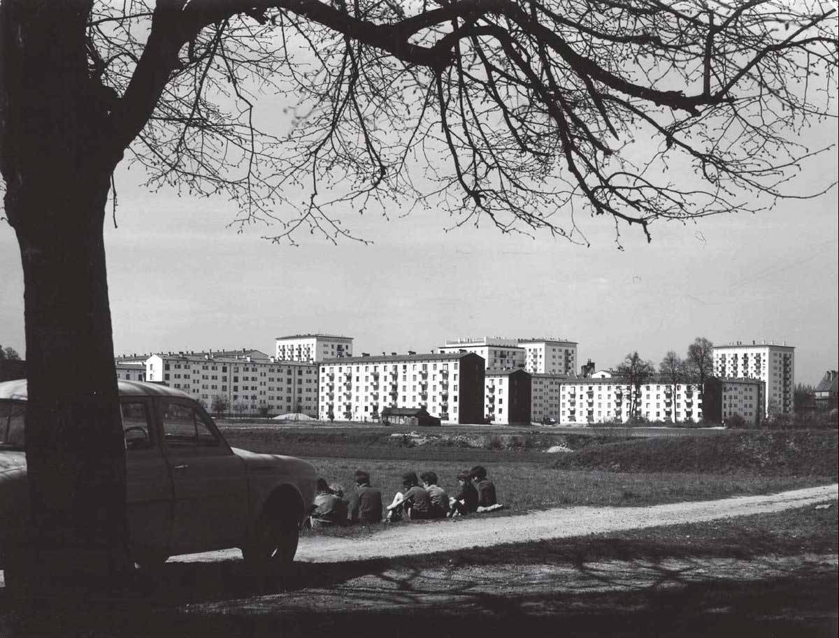
At the edge of Strasbourg’s southern limit, the “Neuhof“ extends itself. Integrated from the 19th century onward as a district within Strasbourg, its name comes from a single farm lost in a thick forest, in the 15th century. Neuhof indeed means “new farm” (Neu: new, Hof: courtyard or, by extension, farm). This is nowadays the largest district of Strasbourg in terms of surface, for a population even larger than that of the city center.
If you are now curious about all these names with a story to tell, it means you are ready for a small guided tour led by a member of Happy Strasbourg, who will be ready to dive with you even deeper into the mysteries of these names, and to answer any and all questions that may have arisen while reading these sentences!


